New Members Welcome
Welcome
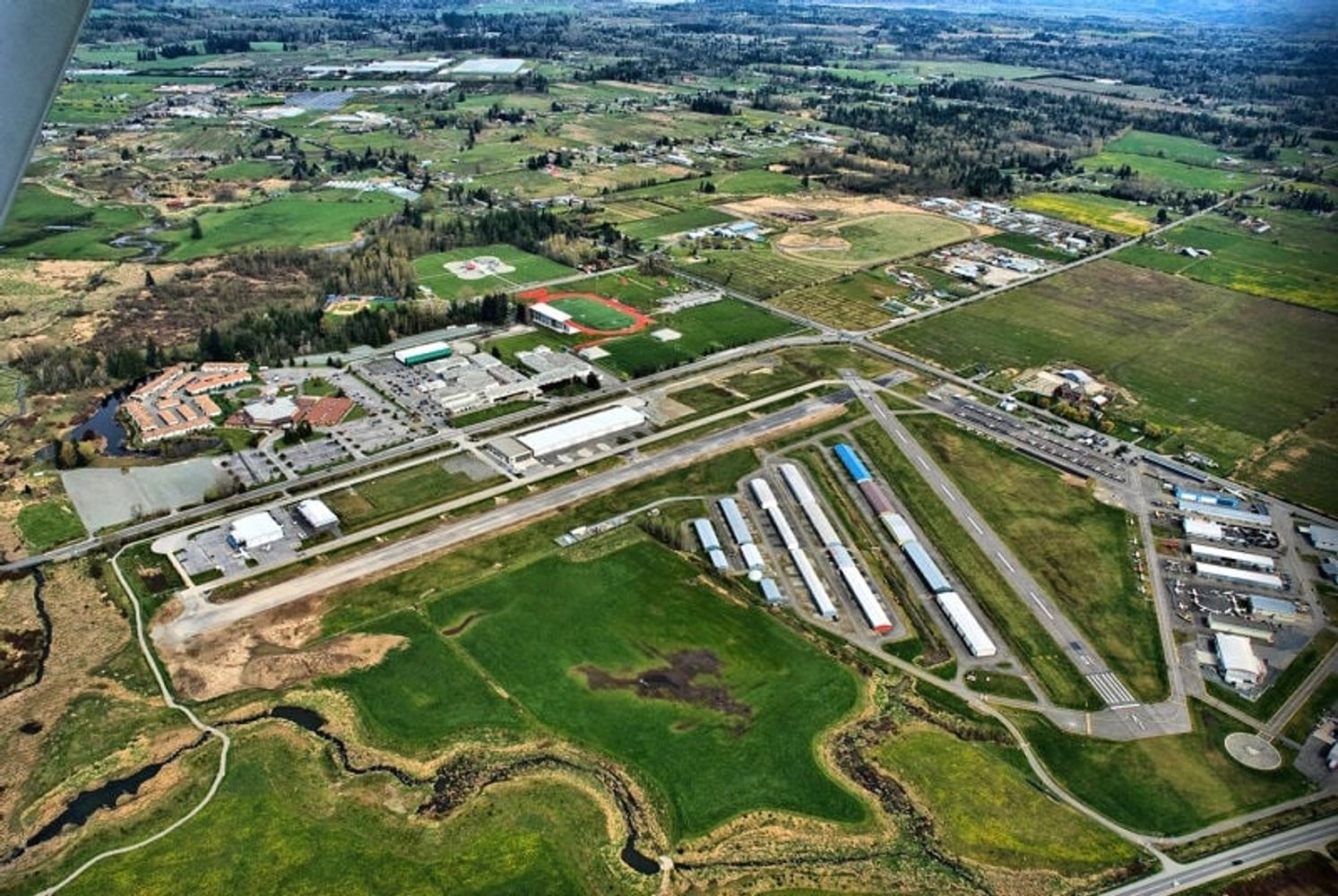
Explore General Aviation in Langley
Join our community of aviation enthusiasts in Langley.
New Members Welcome
Join our community of aviation enthusiasts in Langley.
Sept 13 is approaching fast and we’re making preparations. We need Volunteers to make this a success
DaysDays
HrsHours
MinsMinutes
SecsSeconds
We often have guest speakers with interesting topics on aviation, potluck dinners, local aviation news and more.
2A 5333 216 Street, Langley, British Columbia V2Y 2N3, Canada
Sign up to hear from us about upcoming events